Developing Spatio-temporal models of COVID-19 in India
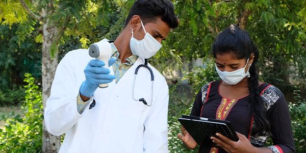
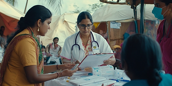
In 2020, COVID-19 was spreading rapidly in India and other parts of the world. Despite the Indian Government’s efforts to contain the disease in the affected districts, cases have been reported in 627 (98%) of 640 districts. Using publicly available data, the researchers of the institution reported a vulnerability index for identification of vulnerable regions in India on the basis of population and infrastructural characteristics. The vulnerability indices reported in the study are intended to spatially identify vulnerable regions in India according to five different domains of vulnerability. The index aims to help planners and policy makers to effectively plan resource allocation and risk mitigation strategy for better preparedness and response to the epidemic. The index calculates vulnerability for 5 domains at state and district levels for 30 states, 6 union territories and 640 districts (as per census 2011 administrative boundaries). The 5 domains of vulnerability are: socio-economic, demographic, housing & hygiene condition, non-availability of health care and epidemiological.